
Interactive Map
Catch pins, nautical charts, depth contours, weather overlays, and offline maps.
What it does
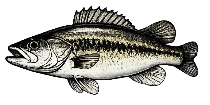
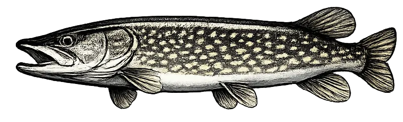
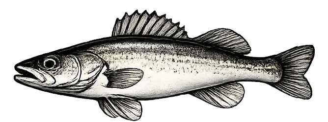
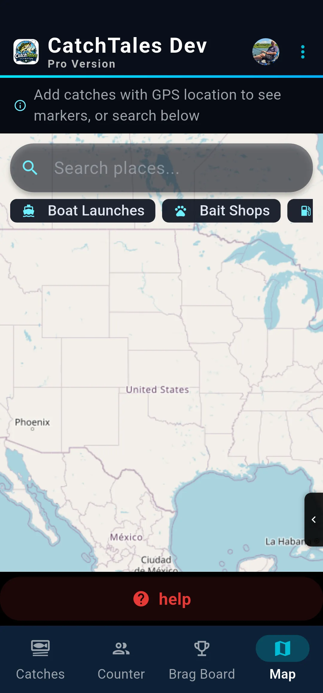
The Interactive Map plots every catch with a species pin. Tap a pin to see the species and angler. Pinch to zoom, pan around, and explore. The blue dot shows where you are.
Tap the Map Tools button (bottom right) to open a grid of tools:
- Nautical — buoys, wrecks, and depth charts
- Depth — water depth contour lines
- Weather — tap to cycle Clouds, Rain, Temperature
- Radar — live rain radar overlay
- Offline — download map tiles for an area to use with no signal
- My Maps — manage your saved offline areas
- My Depths — show crowd-sourced depth readings on the map
- Spots — your saved favorite fishing spots
- Record — log a catch by voice
- GPX — import a route
- Locate — center the map on your location
Buttons above the map find places within 25 km of wherever the map is showing: Boat Launches, Bait Shops (including community-added bait and tackle stores), and Gas Stations.
How to use it
- Open the Map tab (bottom navigation).
- Tap the Map Tools button (bottom right) to open all tools.
- Tap a catch pin to see species and angler details.
- Toggle Nautical or Depth overlays for charts.
- Tap Weather to cycle cloud / rain / temperature layers, or Radar for live rain.
- Long-press the map to log a depth reading, save a favorite spot, or add a bait shop.
- Use Offline to download an area before you head out.
Offline maps
Heading somewhere without signal? Tap Offline, tap two corners of the area you want, name it, and it downloads the base and overlay tiles. Manage your downloaded regions on the Offline Maps screen.
💡 Pro tips
Map overlays rely on publicly available data. Coverage varies — smaller lakes and remote areas may have limited or no data. Download offline maps before you leave home for the most remote waters.
Crowd-sourced depth logging
Long-press anywhere on the map and choose Log Depth Here. Enter the depth from your fish finder (or estimate it) — it saves with exact GPS for other anglers to see. Every submission helps build a free community depth database.
Community boat-launch details
Tap a Boat Launch result and open Boat Launch Details to see cost, where to pay, open hours, inspections, and AIS certificate rules — contributed by anglers like you.
Know where to pay or what a launch charges? Add or update the details yourself:
- Cost — free, pay per use, or donation, plus what it charges
- Where to pay — e.g. an iron box at the ramp
- Open hours
- Inspection — whether a watercraft inspection station is present
- AIS certificate — if one is required or available here
On the map it appears near the other boat launches; in Fishing Guides it's on each launch's info button.
💡 Launch in the wrong spot?
Google sometimes places the pin somewhere it isn't. Tap Move Launch to Correct Spot, then tap the map where the launch really is. Your correction is shared with the whole community, and the marker shows there for everyone.
Get CatchTales
Free and Pro versions available. Pro is $8.99/year or $19.99 lifetime (CAD).